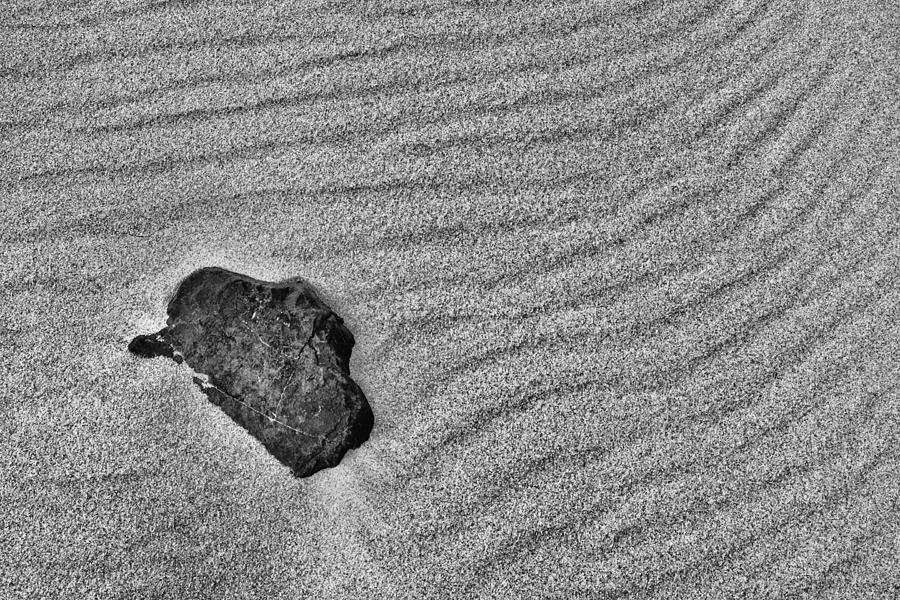
Blocking The Paths

by Gary Slawsky
Title
Blocking The Paths
Artist
Gary Slawsky
Medium
Photograph - Photography
Description
A solitary rock blocks pathways in the sand at Sandy Hook New Jersey. Sandy Hook is a 1665 square mile peninsula along the eastern cost of New Jersey that was discovered by Henry Hudson in the early 1600s. This peninsula is located at the southern entrance to New York harbor.
After the Civil War Fort Hancock was establish as a military base, armament proving ground and in the 1950s a Nike missile site. Numerous large bunkers that housed weapons to protect New York Harbor are scattered around the peninsula.
Fort Hancock was decommissioned in 1974 when it was turned over to the US National Parks Service and managed as part of the Gateway National Recreation Area. Today, Fort Hancock, the proving ground, some bunkers, and nike missile site can be toured as historical monuments of US History. The oldest operating lighthouse in the United States (Sandy Hook Lighthouse) can be entered as well as the attached lighthouse keepers residence that includes a Sandy Hook history museum.
Uploaded
May 2nd, 2012
Statistics
Viewed 2,167 Times - Last Visitor from New York, NY on 04/25/2024 at 11:09 AM
Embed
Share
Sales Sheet
Comments
There are no comments for Blocking The Paths. Click here to post the first comment.


